Island Drone Services

Aerial drone support for everyday projects

Serving Victoria, Vancouver Island, British Columbia & beyond.

Island Drone Services

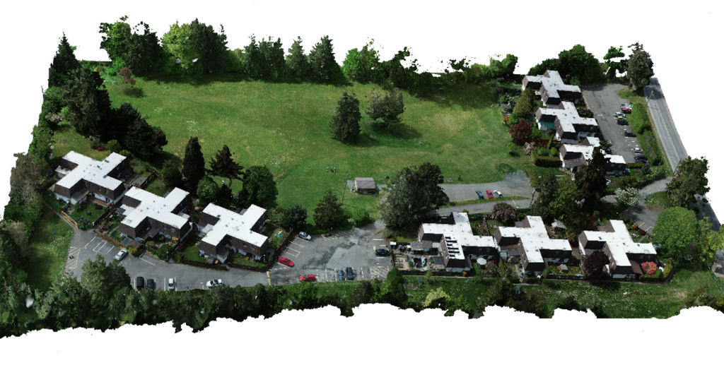
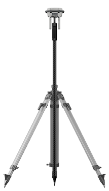
2D & 3D mapping, RTK/PPK flights, LiDAR, DEM & G.I.S. services

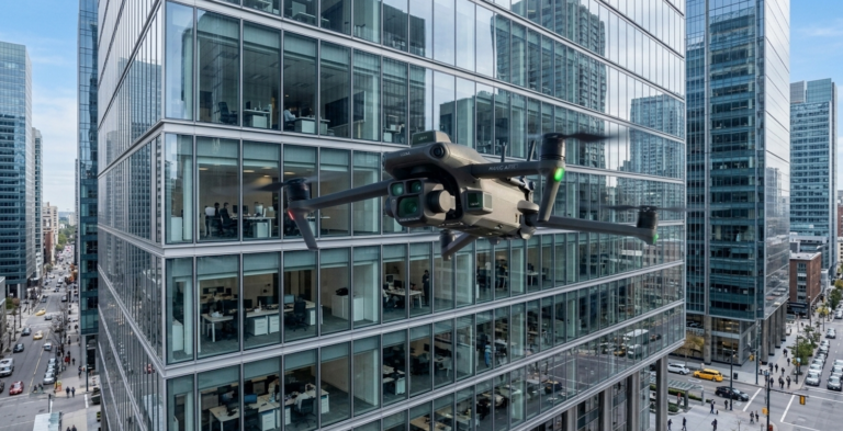
High-detail drone scans and inspection flights for buildings & infrastructure.

Animation, renderings, interactive 3D & virtual reality

4K video, HDR photos, panoramas & 360° views

EVERYDAY DRONE SOLUTIONS

We support your projects.

We work with business owners, home owners, construction and development companies, real estate agents, local governments, conservation groups, non-profit organizations, creative agencies, visual artists and more to provide aerial drone support for a wide range of everyday situations.

Whatever your requirements, our team of drone pilots and computer specialists is here to help you view, present and share your project.  We’ll use the perfect drone for the task and will provide you with the exact results you need to complete the job.

Our Drone Fleet

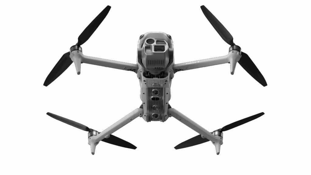
DJI Matrice 300 RTK

DJI Mavic 3 Enterprise RTK

DJI Matrice 30T Thermal

DJI Mavic 3M Multispectral

DJI Mavic Air 2S

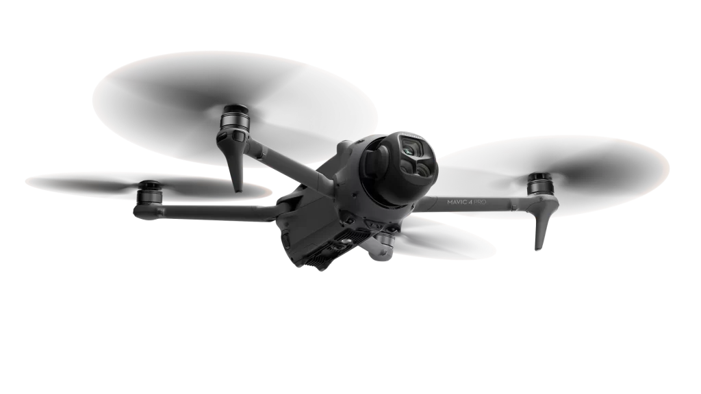
DJI Mini 5 Pro

Recent Projects

Kinsol Trestle

Conducted the first-ever 3D drone scan of the historic Kinsol Trestle in partnership with the Cowichan Valley Regional District for their ongoing maintenance programs.

Northern Yukon

Drone-scanned a 2200' mountain face 200 km north of Dawson City in high-detail 3D to assist in copper prospecting and base-metals exploration.

Somenos Creek

Aerial mapping of the full 3-km creek length for the Municipality of North Cowichan, the Cowichan Tribes land office and the Somenos Marsh Wildlife Society.

Similkameen River

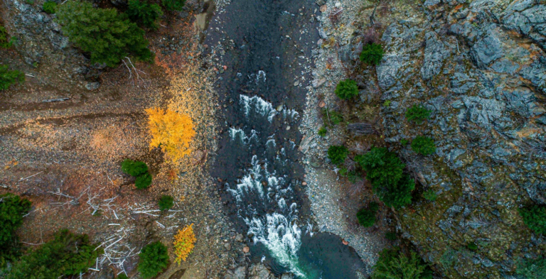
3D drone-mapped six kilometres of an inaccessible river section near Princeton, B.C. for fish studies and ecological reporting.


Questions & Flight Bookings

Have questions about our fleet of drones, or about what to expect on the mission day? 

Ready to book a flight or site visit? 

Call (778) 584-5753 for drone support for your project