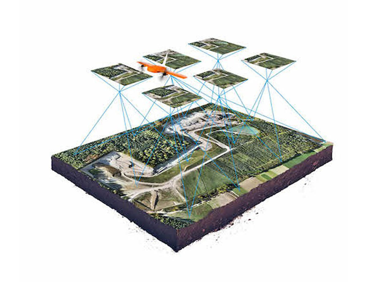
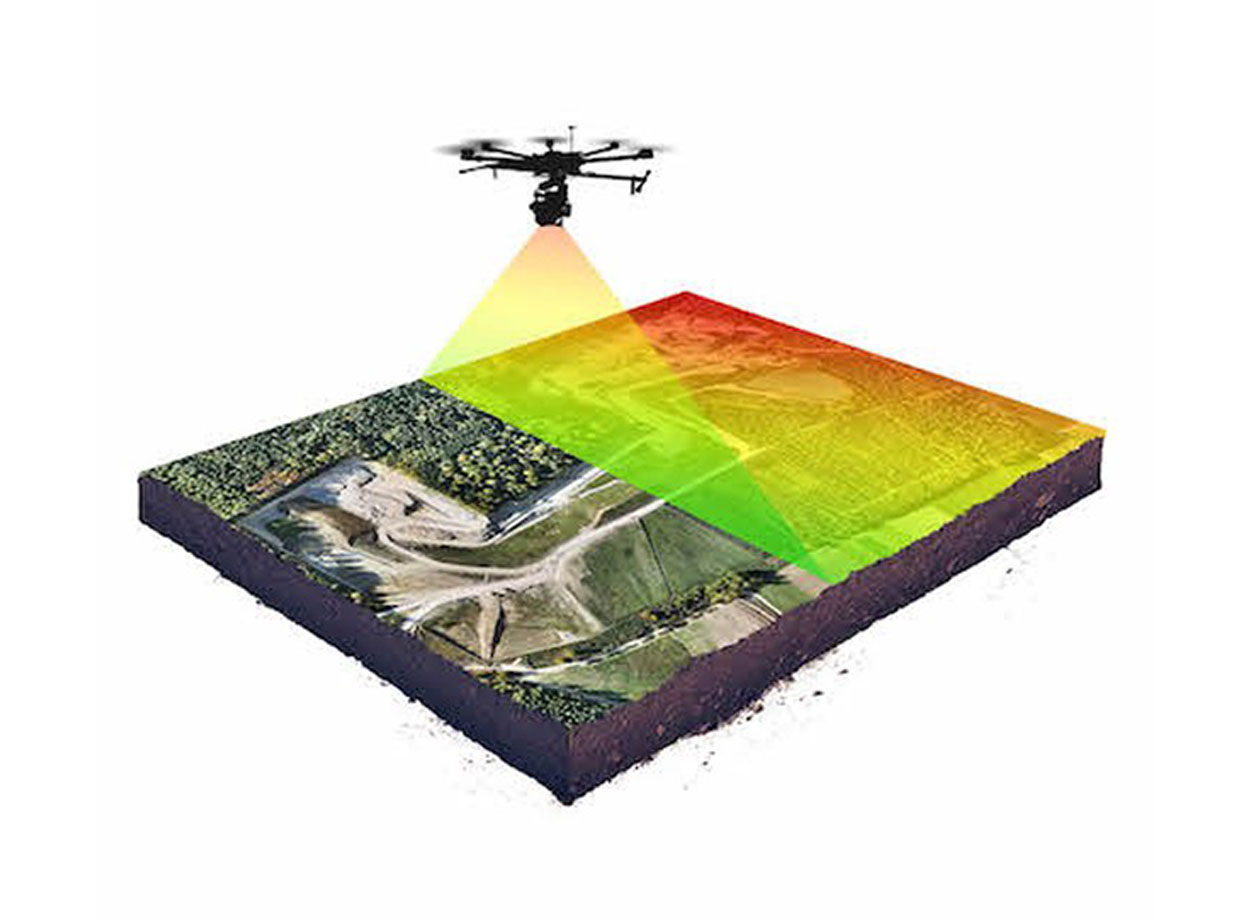
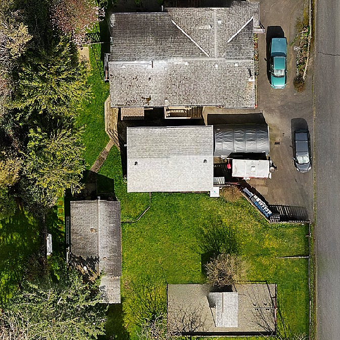
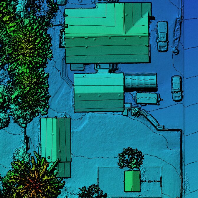
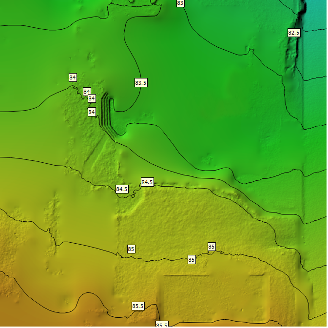
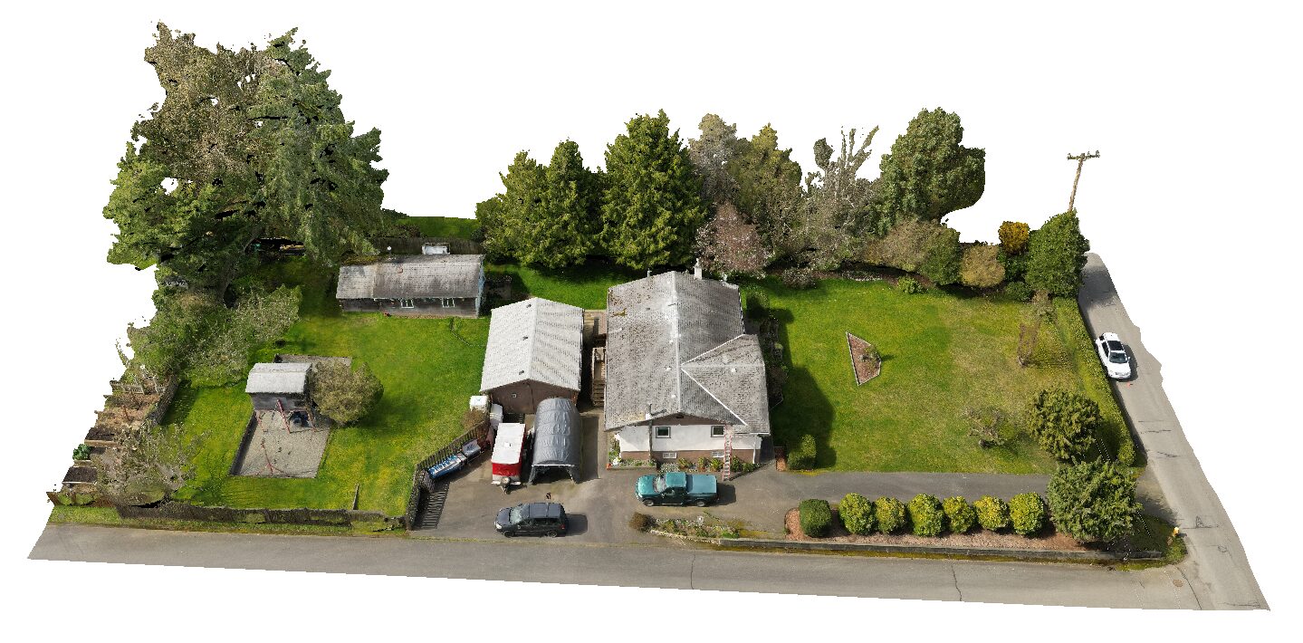
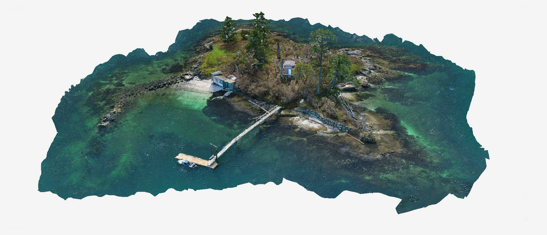
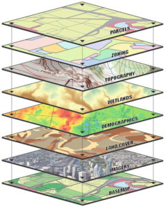
Our drones can create photographic and topographic map data for project areas of almost any size. Standard deliverables include high-resolution map imagery (typically at 1 to 2 cm resolution), digital elevation models (DEM/DSM/DTM), contours lines and photorealistic 3D meshes.
We’ll provide everything in a format that works well for you, and that integrates seamlessly with your existing data/GIS/engineering workflow.